
Philly has thousands of miles of sidewalk, and the farther away from Center City you are, the more likely it is you will encounter inadequate or unsafe sidewalk conditions. To make things more complicated, the city lacks an organized repair program and puts the burden of repair on homeowners. That means unsafe conditions could remain for months or even years.
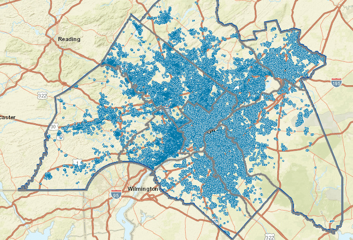
The Greater Philadelphia Pedestrian Portal, and new tool created by the Delaware Valley Regional Planning Commission (DVRPC) tracks sidewalk conditions and crosswalks with a clickable map. The map can also be edited by anyone. All you need to do is go to the website and create a profile. Then you can make edits to the map based on your local knowledge of an area.
Users can view sidewalks, crosswalks, and ramps (curb cuts). Once you register, you can draw in sidewalks where they aren’t labeled, update real time conditions, and leave comments about specific sections of sidewalk by clicking on them. Other functions of the website are still under construction. We encourage you to register now so you can help build an accurate map of Philly’s sidewalks. Accurate data will help identify and prioritize areas where sidewalk conditions put pedestrians at risk.
